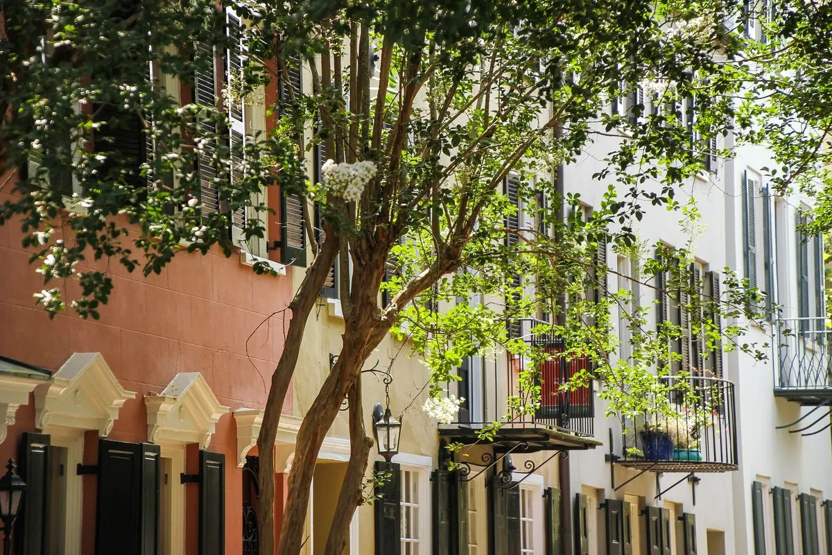
America's first protected historic district is a peninsula of single houses, church steeples and pastel facades – and a city that has had to reckon with its past. A walk through old Charleston, from Broad Street to the fort in the harbour.
In this story · 6 sections
Charleston, the largest city in South Carolina, sits on a peninsula where the Ashley and Cooper rivers meet to form Charleston Harbor. English colonists founded it as Charles Town in 1670, in honour of Charles II, and moved it to its present site in 1680; by the 1690s it was the fifth-largest city in North America. It was renamed Charleston on its incorporation in 1783. Today the city has 150,227 inhabitants, a busy port and an aerospace industry – but visitors come for the old peninsula, one of the best-preserved historic townscapes in the country.
That townscape comes with a history that the city now addresses openly. Almost half of the enslaved Africans brought to the United States arrived through Charleston, and in 2018 the city formally apologised for its role in the slave trade. Any walk here passes through that past.
01The first protected historic district
In 1931 Charleston created its Old and Historic District – the first historic district protected by local legislation in the United States, a model later followed by New York and many others. A large part of it was declared a National Historic Landmark District in 1960. It covers most of the historic peninsula and holds what the designation calls an unparalleled collection of eighteenth- and nineteenth-century architecture.
Look out for the Charleston single house, the city's signature type: one room deep, set with its narrow end to the street and its entrance on the long side, built in wood, brick or stucco. In Ansonborough, blocks of Greek Revival houses went up after a fire in 1838.
02Broad Street: church, exchange and courthouse
Start on Broad Street, an east–west thoroughfare since the city's earliest days, lined with Federal-period buildings, many now offices and shops. Three civic landmarks stand along it: St. Michael's Episcopal Church of 1752, the Exchange of 1767 and the Charleston County Courthouse of 1792. Together they mark the colonial city's centre of faith, trade and law.
03Rainbow Row on East Bay Street
Walk east to the waterfront and turn south on East Bay Street. Between Elliott Street and Tradd Street, at numbers 79 to 107, stand the thirteen houses known as Rainbow Row – one of the most photographed sights in Charleston. They once fronted the Cooper River directly; the land in front was later filled in. Merchants built them with shops on the ground floor and living quarters above, often with no inside stair between the two. A fire in 1778 destroyed much of the neighbourhood, sparing only 95 to 101 East Bay.
After the Civil War the area slid into near-slum conditions. In the 1920s Susan Pringle Frost, founder of what is now the Preservation Society of Charleston, bought six of the buildings, and in 1931 Dorothy Haskell Porcher Legge bought numbers 99 to 101 and painted them pink, after a colonial Caribbean colour scheme. Her neighbours followed, and by 1945 most of the row had been restored in the pastels that gave it its name. The popular stories about drunken sailors and colour-coded shops are, the historians say, myths.
04The Battery
Continue south to the tip of the peninsula and the Battery, where grand antebellum houses face the harbour. From the seawall you look out to where the rivers meet the sea – and, on a clear day, to a low brick fort in the middle of the channel.
05Fort Sumter: where the war began
Fort Sumter was begun in 1829 on an artificial island built from 70,000 tons of New England granite, after the War of 1812 exposed the weakness of the coast's defences. The five-sided brick fort was designed for 650 men and 135 guns, but it was still unfinished on 12 April 1861, when Confederate forces bombarded it in the battle that started the American Civil War. It was never completed to its original plan and has been open to the public since the mid-twentieth century, run by the National Park Service as part of Fort Sumter National Monument.
06Planning your visit
The historic peninsula is compact and best seen on foot; allow a full day for Broad Street, East Bay and the Battery, and half a day for the harbour and Fort Sumter. For more cities with a story, see our destinations, the Metro Mode home page and the Metro Mode camera, which identifies buildings as you walk.