The Cotswolds roll across Gloucestershire and Oxfordshire into Warwickshire and Worcestershire, and their villages are built of a golden limestone that glows in the evening sun. Medieval wool paid for their great churches. Here is a guide to England's largest protected landscape of its kind – and how to see it.
In this story · 6 sections
The Cotswolds are a range of hills in south-west England, covering the eastern half of Gloucestershire and the western half of Oxfordshire and reaching into Warwickshire and Worcestershire. Designated an Area of Outstanding Natural Beauty in 1966 and enlarged in 1990, the area now covers 787 square miles and is described as the largest such area in England and Wales. Its towns and villages – Broadway, Burford, Chipping Campden, Stow-on-the-Wold, Bourton-on-the-Water – are a classic weekend from London.
2 places
The Cotswolds in figures- Protected since
- 1966
- Area
- 787 square miles
- Highest point
- Cleeve Hill, 1,083 feet
- Cotswold Way
- About 103 miles
Cotswold stone – why the villages are golden
The Cotswolds' look comes from the ground beneath them. Cotswold stone is a yellow oolitic limestone, rich in fossils – particularly fossilised sea urchins – and it gives the towns and villages their honey colour. The hills rise to their highest point at Cleeve Hill in Gloucestershire, 1,083 feet above sea level.
Wool towns and wool churches
In the Middle Ages the wool trade made the Cotswolds prosperous, and some of that wealth paid for the large stone “wool churches” that still dominate many of the towns. Market towns such as Northleach, Cirencester, Chipping Norton, Moreton-in-Marsh and Winchcombe grew rich on the trade, and their high streets of stone houses survive largely intact.
Chipping Campden, Broadway and the north Cotswolds
Chipping Campden in the north is known for its high street of Cotswold stone and its association with the Arts and Crafts movement around the turn of the 20th century. Its annual Cotswold Olimpick Games date back to the early 17th century. Nearby Broadway is one of the best-known villages in the Cotswolds, and William Morris stayed from time to time at Broadway Tower on the hill above it.
Burford, Stow-on-the-Wold and Bourton-on-the-Water
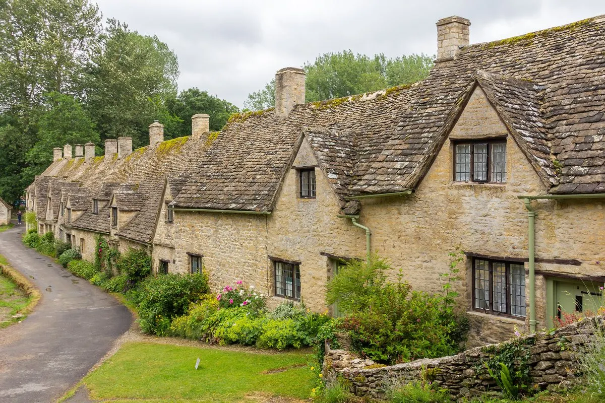
In the east lie Burford, on the River Windrush, and the market town of Stow-on-the-Wold; Bourton-on-the-Water, further south, also sits on the Windrush. Bibury, near Cirencester, is known for Arlington Row.
Walking the Cotswold Way
The Cotswold Way is a long-distance footpath of about 103 miles along the western escarpment of the hills. The landscape is looked after by the Cotswolds Conservation Board, set up in 2004, and by more than 300 volunteer wardens, and it includes three National Nature Reserves and more than 80 Sites of Special Scientific Interest.
How to plan a Cotswolds weekend
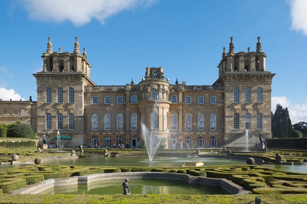
Choose one base – Chipping Campden or Broadway in the north, Burford or Stow in the east – and explore by car or on foot, adding Blenheim Palace near Woodstock on the Oxfordshire side. Most visitors come via London; start with VERA PI's London guide, read Metro Mode's London guide (in Swedish), and find more guides among metromode.co's destinations.
Chipping Campden
Wool town in the north Cotswolds
High street of Cotswold stone; home of the Cotswold Olimpick Games.
Chipping Campden, Gloucestershire
Cleeve Hill
The highest point in the Cotswolds
1,083 feet above sea level.
Cleeve Hill, Gloucestershire