In this story · 4 sections
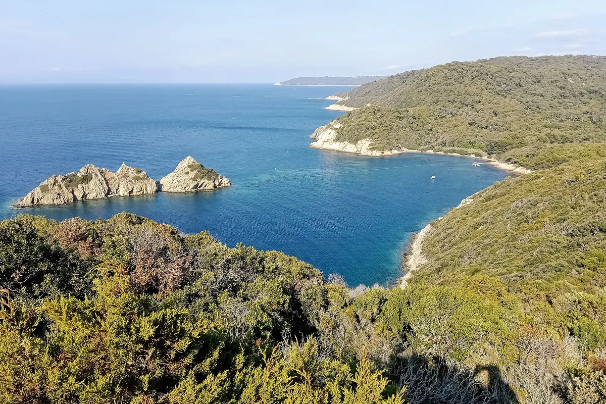
Port-Cros lies 8.3 kilometres south of Cap Bénat on the coast of Bormes-les-Mimosas, and just 1.1 kilometres west of the Île du Levant. It is the most mountainous of the Hyères islands: 4.2 kilometres long, 2.4 wide and covered in Aleppo pine slowly giving way to holm oak. A few fishermen's houses, a small chapel and a manor line the harbour bay, watched over by the Fort de l'Éminence. The rest is footpaths, forts and sea.
It belongs to the commune of Hyères and forms the core of the Port-Cros National Park, which also covers much of Porquerolles, the island of Bagaud and the surrounding waters: 1,700 hectares of land and 2,900 of sea.
5 places
© OpenStreetMap contributors · OpenFreeMap
- 01Fort de l'Estissacsee · Port-Cros
- 02Fort du Moulinsee · Port-Cros
- 03Plage de la Paludsee · Port-Cros
- 04Fort de Port-Mansee · Port-Man
- 05Le Manoir de Port-Crosstay · Port-Cros
- Island area
- About 7 km²
- Highest point
- Fortin de la Vigie, 199 m
- Park created
- 14 December 1963
- Park surface
- 1,700 ha land, 2,900 ha sea
- Species
- 180 fish, 144 birds
Pirates, marquises and Richelieu's forts
The Greeks knew it as Messé, the middle island of the Stoechades; its present name comes from the hollow shape of its harbour. Roman tombs and a gold coin have been found at Port-Man and La Palud. In 1531 François I, alarmed by pirate raids, made Port-Cros, Bagaud and Le Levant a marquisate, on condition that its holder build forts. To attract settlers, the island was later granted a right of asylum for convicts, who caused more trouble than the pirates.
The forts finally came under Richelieu: the tower of l'Éminence, the Fort de l'Estissac and the fort at Port-Man. Even so, the British pillaged the island in 1700, invaded it in 1742 and ruined it again in 1793. Napoleon restored the defences in 1811, and by 1812 between 1,000 and 2,000 men were garrisoned here.
A novel, a lawsuit and a rescue
In 1890 the Marquis Costa de Beauregard acquired the island and invited friends to hunt and write. One of them, the academician Eugène-Melchior de Vogüé, set his bestselling novel Jean d'Agrève here in 1897; the Manoir d'Hélène is named after its heroine.
The real heroine came later. Marceline Henry arrived in 1918 with her lover, the poet Jean Picart, known as Claude Balyne, who had come to the island to recover from tuberculosis. She fell for the place completely and in 1921 persuaded her husband, a notary from Avignon, to sell everything and join her. After fifteen years of lawsuits over its ownership, the island went to auction in 1937, and the Henrys enlisted a loyal guest of their hotel, the oil heiress Paule Desmarais, to outbid a developer. When Marceline Henry died in 1966 she left the island to the state, apart from the hotel, Le Manoir. The national park had been created on 14 December 1963.
The island saw combat once more. On 15 August 1944, the first day of the Provence landings, an American-Canadian commando of the First Special Service Force took two days to defeat the German garrison of 150 men.
Under the water
Port-Cros is above all a marine reserve. Rocky to the south and sandy to the north, its coast shelters Posidonia meadows grazed by salema and sea bream, and coralligenous reefs where moray eels, conger and dentex hunt. The îlot de la Gabinière is famous among divers for its dusky groupers, a species once threatened by spearfishing. Bottlenose dolphins, pilot whales, mobula rays and loggerhead turtles are all recorded in park waters, with 180 fish species and 144 bird species in all.
On foot around the island
From the harbour, paths fan out through the maquis of strawberry trees and tree heather. The Fort du Moulin overlooks the port; the Fort de l'Estissac stands above it on the road of the forts. Walk east to the bay of La Palud, with the Rascas rock offshore, or on to the Fort de Port-Man, which the photographer Yann Arthus-Bertrand took on a long lease in 2003 to restore. The old semaphore of La Vigie, reached by the former strategic road, gives a panorama from Cap Sicié to Cap Camarat.
Fort de l'Estissac
Richelieu-era fort above the harbour
One of the forts built under Richelieu to defend the island.
Route des Forts, Port-Cros, 83400 Hyères
Insider tipA short climb from the port.
Fort du Moulin
The fort overlooking the port
Stands directly above the harbour and its few houses.
Montée du Moulin, Port-Cros, 83400 Hyères
Insider tipGood first viewpoint after landing.
Plage de la Palud
The bay facing the Rascas rock
The island's best-known beach, on the north coast.
Plage de la Palud, Port-Cros, 83400 Hyères
Insider tipBring water; there are no shops beyond the port.
Fort de Port-Man
Eastern fort facing the Île du Levant
Restored under a long lease by Yann Arthus-Bertrand from 2003.
Circuit de Port-Man, Port-Cros, 83400 Hyères
Insider tipThe longest of the classic island walks.
Le Manoir de Port-Cros
The island's historic hotel
The hotel kept by Marceline Henry's family when she left the island to the state.
1 route du Barrage, Port-Cros, 83400 Hyères
Insider tipCheck the season before planning a night.
More island and coast stories are on metromode.co, and property data for the Var coast is on VERA PI.