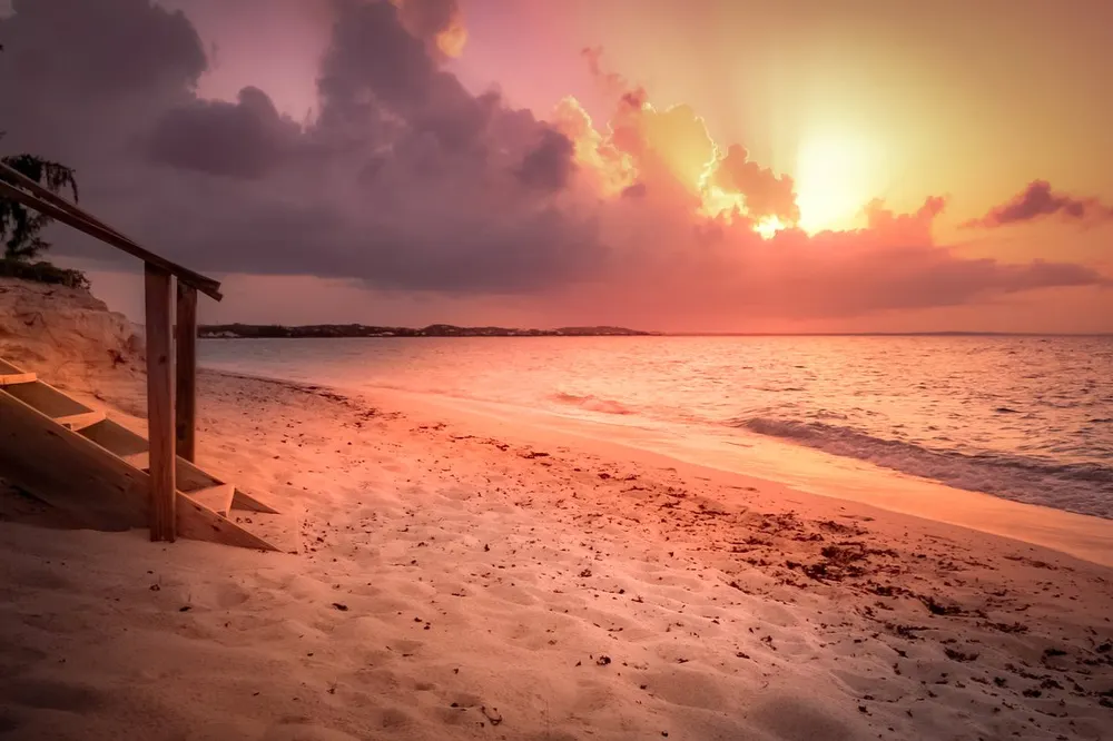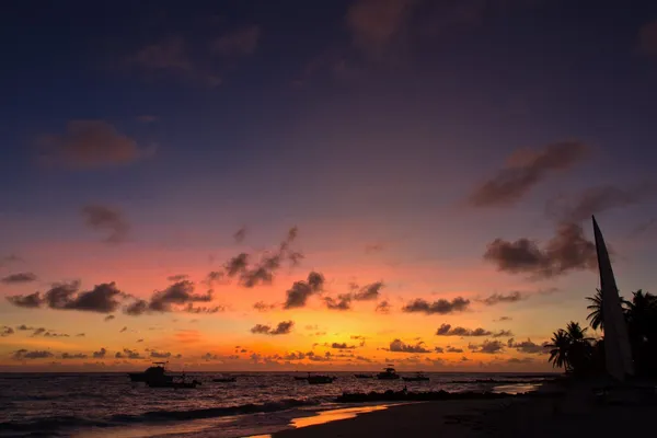
A flat ribbon of coral and limestone sixteen miles long, north of Saint Martin, with a reggae festival under the full moon and a national sport of racing boats. Anguilla, the quiet one of the Leeward Islands.
In this story · 5 sections
Anguilla is one of the most northerly of the Leeward Islands, directly north of Saint Martin across the Anguilla Channel. It is a British Overseas Territory: a flat, low-lying island of coral and limestone about 16 miles long and 3.5 miles wide at its widest, with a scatter of tiny uninhabited cays – Sandy Island, Prickly Pear Cays, Scrub Island, Dog Island and others. Its Arawak name was Malliouhana; its present name comes from the Italian for eel, after its long, slender shape.
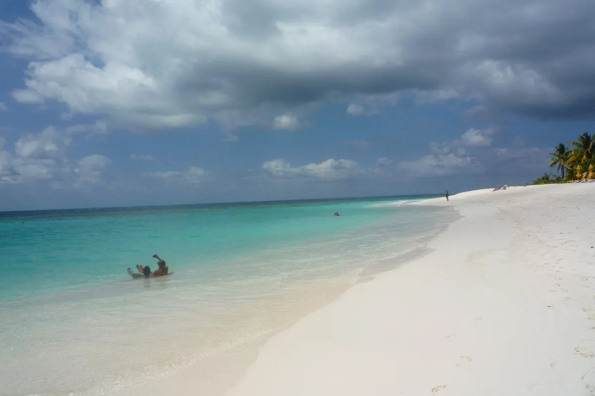
The island is noted for its ecologically important coral reefs and its beaches, and since becoming politically stable it has grown steadily as a tourist destination. What makes it different from its neighbours is a strong local identity, forged in a history of neglect and a short, peculiar revolution.
01Petroglyphs and plantations
Indigenous peoples from South America reached Anguilla early: the oldest artefacts date to around 1300 BC and settlements to AD 600. At Big Spring, rock ledges carry more than 100 petroglyphs from AD 600–1200, most of them faces formed by three indentations; Fountain Cavern is the island's other petroglyph site.
English settlers from Saint Kitts arrived from 1650 to plant tobacco and cotton, and later sugar, worked by enslaved Africans who came to vastly outnumber them. The French attacked repeatedly but never held the island. After emancipation in 1834 many planters left, and the island, administered first from Antigua and then from Saint Kitts, was federated with St Kitts and Nevis in 1882 against the wishes of many Anguillans. Droughts and the Depression drove many to emigrate.
02The Anguillan Revolution
In 1967 Anguilla became part of the self-governing associated state of Saint Kitts-Nevis-Anguilla. On 30 May that year Anguillans, resenting the dominance of St Kitts, forcibly ejected the St Kitts police and voted for separation. The movement, led by Atlin Harrigan and Ronald Webster among others, sought not independence for its own sake but a return to being a British colony. A Republic of Anguilla was declared, with Webster as president, and in March 1969 some 300 British troops landed. British authority was restored, and the island has been a separate British territory ever since.
03The Valley
The capital, The Valley, sits in the middle of the island below Crocus Hill, Anguilla's highest point, where the ruined basement cells of the Old Court House survive. Because the administration moved to St Kitts in 1825, little colonial architecture remains, but Wallblake House, a plantation house built around 1787, still stands at Cross Roads and is used as a rectory, next to St Gerard's Catholic Church with its striking facade of pebbles, stones, wood and tile.
04Beaches, boats and the full moon
Most visitors come for the beaches and the reefs: spend your days moving between the bays, and take a boat out to one of the cays. Time your visit for a holiday if you can. Boat racing is the national sport, with regattas on national holidays such as Carnival, and Moonsplash, an annual reggae festival held for more than three decades, is billed as the oldest independent music event in the Caribbean.
05When to go
Temperatures stay between 26 and 29°C all year. February and March are the driest months; the hurricane season runs from July to November, and Hurricane Irma in 2017 was the most powerful ever to strike the island. Clayton J. Lloyd International Airport is near The Valley. For more, see our destinations, the Metro Mode home page and our list of hotels worth a single night.