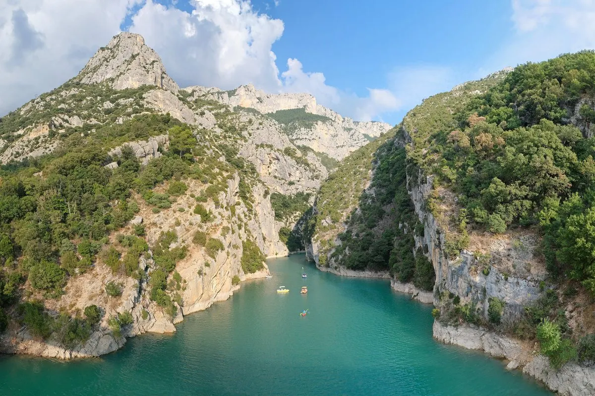
The river Verdon has carved out a gorge that is 25 kilometres long and up to 700 metres deep. At its western mouth, a gold star hangs between two cliffs above the village of Moustiers-Sainte-Marie. A guide to the canyon, the lake and the village.
In this story · 4 sections
The Gorges du Verdon is Provence's great natural stage. The river Verdon, which begins near the Col d'Allos and, after 166 kilometres, flows into the Durance, has here cut its way down through the limestone between Alpes-de-Haute-Provence and Var. The canyon is around 25 kilometres long and reaches 700 metres in depth, with walls that fall straight down into the green water. It forms part of the Verdon Regional Nature Park.
At the western mouth of the canyon lie Lac de Sainte-Croix and the village of Moustiers-Sainte-Marie, and a short drive further west the lavender fields of the Valensole plateau begin. This makes the Verdon a natural destination for anyone travelling through Haute-Provence. More about the villages can be found on VERA PI's map of Alpes-de-Haute-Provence.
The Verdon in figures
- Length of the canyon
- Approximately 25 km
- Greatest depth
- 700 m
- Length of the Verdon
- 166 km
- Lac de Sainte-Croix
- Filled 1973, approximately 2,200 ha
- The star's chain in Moustiers
- 225 m
01The canyon from the roads
The easiest way to see the canyon is from the roads running along its edges. On the southern side, in Var, the Corniche Sublime runs with viewpoints right above the cliffs. On the northern side, roads wind between small villages and viewpoints. A full round trip takes a day with many stops, and the roads are narrow, steep and winding – drive carefully and allow more time than the map suggests.
Those who want to get closer can hike down into the canyon on marked trails, or paddle a kayak and hire pedal boats and electric boats where the river flows out into the lake. The water is cold and clear, and from the boat you can see the cliffs rising straight up.
02Lac de Sainte-Croix
The lake below the canyon is a reservoir that was filled by EDF in 1973 after a dam was built on the Verdon. At around 2,200 hectares, it is one of the largest man-made lakes in France. In summer it is full of bathers, sailors and pedalos – boats with petrol engines are forbidden, only electric motors and sails are allowed. Three villages lie on its shores: Sainte-Croix-du-Verdon, Bauduen and Les Salles-sur-Verdon, which was rebuilt after the old village ended up underwater.
03Moustiers-Sainte-Marie – the star and the faience
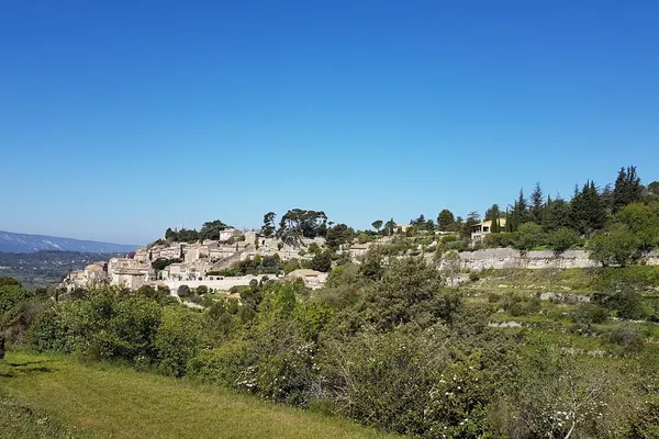
Moustiers is built on terraces about a hundred metres up on a limestone cliff, at the canyon's western entrance. A spring flows out of the cliff and forms a waterfall through the village. At dusk, when the sun shines on the south-facing cliff, the houses take on a pink glow. The village belongs to Les Plus Beaux Villages de France.
Above the village hangs a gold-painted star on a 225-metre-long chain between two cliffs. According to the legend, made famous by the poet Frédéric Mistral, the knight Bozon de Blacas promised to hang a star above his village if he returned home from captivity during the crusades. The star and chain have been replaced several times over the years.
Moustiers is also known for its faience. The Clérissy family of potters made the village's name in the 17th century, and in the 1700s the village's faience, often painted in blue with hunting scenes and ornaments, became known throughout France. The village still has workshops and a faience museum.
04Moustiers according to VERA PI
Moustiers is a small village with 695 inhabitants and 600 homes, according to VERA PI, of which 35 per cent are second homes. From January 2021 to June 2026, 54 properties were sold, with a median of 3,109 euros per square metre for villas and houses. See VERA PI's page on Moustiers-Sainte-Marie and Sainte-Croix-du-Verdon by the lake.
Time the trip with the lavender season in Provence. More destinations can be found among metromode.co's destinations.