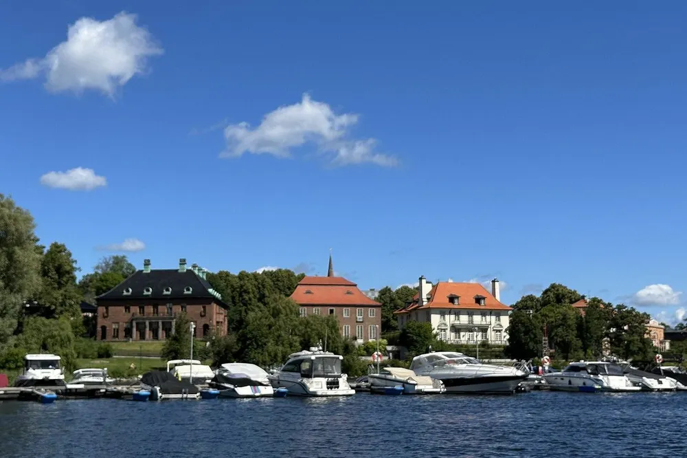
A narrow footpath along the steep slope high above Riddarfjärden, tower houses where artists and the cultural elite have lived for over a hundred years, and 18th-century alleys that were almost demolished. Mariaberget on Södermalm is Stockholm at its very best – literally.
In this story · 7 sections
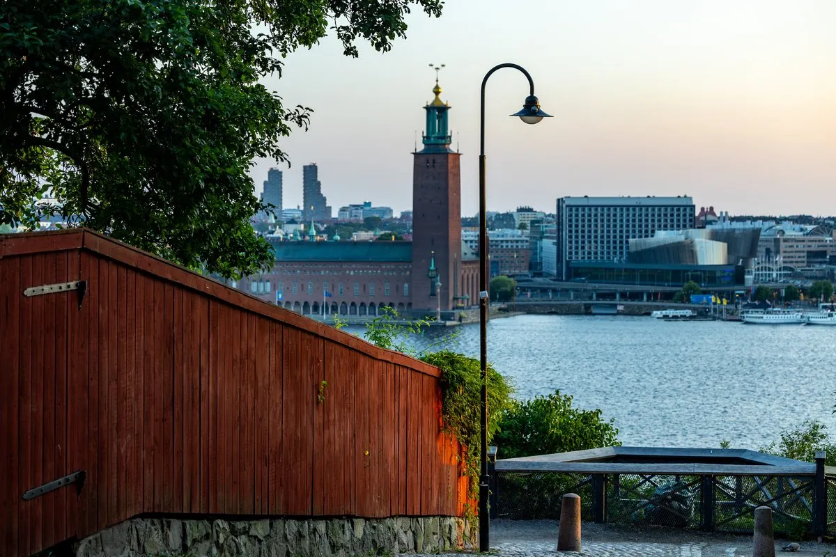
There are many beautiful views in Stockholm, but none quite like Monteliusvägen. From the narrow walking path on the slope at Mariaberget on Södermalm, you can see the whole of Riddarfjärden spread out before you: the City Hall tower with the Three Crowns, Riddarholmen Church, the rooftops of Gamla Stan, and southern Kungsholmen. It is a 416-metre walk with benches and small terraces – and behind it lies one of Stockholm's best-preserved and most story-rich neighbourhoods.
2 places
© OpenStreetMap contributors · OpenFreeMap
Mariaberget in brief- Location
- North-western Södermalm, north of Hornsgatan
- Monteliusvägen
- 416 metres, opened in August 1998
- Cultural heritage reserve
- Mariaberget östra, Pustegränd–Blecktornsgränd
- Laurinska huset
- Valfrid Karlson, 1891–1892
- Mälarborgen
- Gustaf Hermansson, 1889–1890
- Skinnarviksberget
- 53 metres above sea level
A hill named after a parish
Mariaberget is an informal area on north-western Södermalm, today counted as everything north of Hornsgatan between Torkel Knutssonsgatan and Pustegränd. The name comes from Maria Magdalena parish, which once covered the whole of Södermalm. The hill has been inhabited since the 1300s, possibly already when Stockholm was founded in the 1200s. The main streets run east–west – Bastugatan, Tavastgatan, Pryssgränd and Brännkyrkagatan – and are intersected by Bellmansgatan, Blecktornsgränd and Timmermansgatan. In between, there are small alleys such as Ugglegränd, Lilla Skinnarviksgränd and Kattgränd.
Bastugatan takes its name from the bathhouses that stood here on the hillside as late as the 1600s. Industries also established themselves early on in the blocks here: dye works, sugar refineries, tobacco factories and a candle factory, founded in 1852 by the wholesale merchant Lars Montén, which became the forerunner of Barnängens Tekniska Fabrik. Some of the small terraces that Monteliusvägen passes are remnants of plots where tobacco was once grown.
The blocks that almost disappeared
The fact that Mariaberget still exists is not a given. Up until the 1960s, the area fell into severe disrepair, and the town planning schemes aimed to demolish large parts of the buildings. In a 1967 town planning survey, the historic houses between Hornsgatan and Brännkyrkagatan were to be replaced by about ten large residential complexes, and Hornsgatan was to be widened into a thoroughfare. The Söder 67 programme backed down somewhat and designated Mariaberget as a cultural reserve, but it was only after strong protests, led by, among others, the author Per Anders Fogelström, that the plans fell through.
An inventory in 1965 by the City Planning Office and the Stockholm City Museum had already shown, in their own words, "a stone house settlement from the 1700s unique in the outer districts, of exceptionally great cultural-historical and architectural interest". The houses were carefully renovated in the 1970s and quickly became one of the city's most popular residential areas. Mariaberget östra, between Pustegränd and Blecktornsgränd, is today a cultural heritage reserve.
The tower houses on the crest
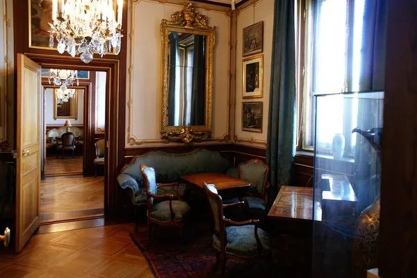
Seen from the water, it is two tower houses that give Mariaberget its silhouette. To the east stands Laurinska huset, also known as Mälarpalatset, at Bellmansgatan 4–6: a red brick façade in Dutch Renaissance style with a dominant corner tower, designed by Valfrid Karlson and completed in 1892. The house held over 120 rooms and takes its name from the art historian Carl Gustaf Laurin, who moved in in 1892 and remained there until his death in 1940. His home in the eastern corner tower was, during the first decades of the 20th century, a gathering place for Stockholm's cultural elite. The neighbours Hanna and Georg Pauli lived in the house, and Hanna Pauli's famous painting Friends (Vänner), with Ellen Key at its centre, has the couple's flat as its background.
To the west rises Mälarborgen on Timmermansgatan and Bastugatan, a five-storey building from 1889–1890 by the architect Gustaf Hermansson, with three hanging corner towers and stepped gables on a high stone base against the rock. The neighbouring building at Bastugatan 40 has the same developer and architect. There the artist Eugène Jansson, the Blue Painter, lived from 1894 until his death in 1915, and from Mariaberget he painted several of his pictures of Riddarfjärden. Both tower buildings are blue-rated by the Stockholm City Museum, which means that the cultural value is considered to meet the requirements for a listed building.
Bastugatan – where the artists lived
Bastugatan is around 600 metres long, and almost every house has a story. The cross street Bellmansgatan is named after Carl Michael Bellman. At Bastugatan 21 is the Ivar Lo Museum, named after the author Ivar Lo-Johansson, and the troubadour Olle Adolphson lived at number 32 in the early 1960s. The composer Ture Rangström lived and worked from 1908 until his death in 1947 at Rangströmska gården at Bastugatan 30B, known for its glazed veranda with one of Stockholm's best views over Riddarfjärden. At Torkel Knutssonsgatan lies Öbergska gården, one of the larger preserved industrial buildings from the 18th century on Södermalm.
In the far east, an iron bridge leads from Bastugatan to the Mariahissen lift from the 1880s. And in the Svalgången block, since the early 1970s, the Stiftelsen Konstnärshem foundation has been located, which provides the block's 55 flats to elderly artists.
Monteliusvägen – the battle over the view
Monteliusvägen was inaugurated in August 1998 and is named after the archaeologist and historian Oscar Montelius, who was born and died in Monteliushuset on S:t Paulsgatan. The park land was already allocated in the city plan for Mariaberget, which gained legal force in 1977, but the construction was disputed. Residents on the northern side of Bastugatan had in many cases used the common land as their own garden and protested that the path would intrude on their privacy. Twenty years later, the path began to be built following a redesign by the landscape architect S-O Hagman, with the route running outside the retaining walls. All material was lifted by cranes from Söder Mälarstrand, and at the same time the retaining walls along Mariaberget were restored. The path cost SEK 14 million and is designed to accommodate tens of thousands of visitors during events on Riddarfjärden.
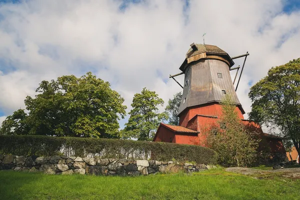
Along the way you pass the foundation of a windmill, probably Stora Pryssan; parts of the millstones can be seen embedded in the retaining walls. There are also entrances to Ivar Lo's park and Olle Adolphson's park.
Continue to Skinnarviksberget
West of Mariaberget comes Skinnarviksberget, which at 53 metres above sea level is the highest natural point in the inner city. The name comes from the skinners and tanners who practised their craft on the shore in the 1600s. Today, the hill is a classic picnic spot with views over Riddarfjärden, Norr Mälarstrand and Stadshuset.
How to do the walk
Start at Kattgränd and Öbergska gården in the west, where steps connect from Torkel Knutssonsgatan and Bastugatan. Walk Monteliusvägen eastwards with the view on your left, and emerge at Bastugatan 16 level with Cederborgska villan. Continue along Bastugatan past Laurinska huset to the iron bridge and Mariahissen, or walk back through the alleys. The morning light is most beautiful for photography towards Stockholm City Hall; the evening is the great moment for the sunset. Read more about the streets in VERA PI's street guide to Bastugatan and to Bellmansgatan, explore Södermalm at VERA PI, continue with Hornsgatan house by house and follow our plan for a day on Södermalm. Then point your phone towards Stadshuset with Metro Mode Camera.
Monteliusvägen
The promenade with views over Riddarfjärden
416-metre path on the slope at Mariaberget, with benches and terraces facing Stadshuset and Gamla Stan.
Monteliusvägen, Stockholm
Insider tipStart at Kattgränd and walk eastwards.
Laurinska huset
The tower house on the crest of Mariaberget
Dutch Renaissance in red brick from 1892, for over a hundred years home to artists and cultural figures.
Bellmansgatan 4–6, Stockholm
Insider tipPrivate residential building – view it from the outside.