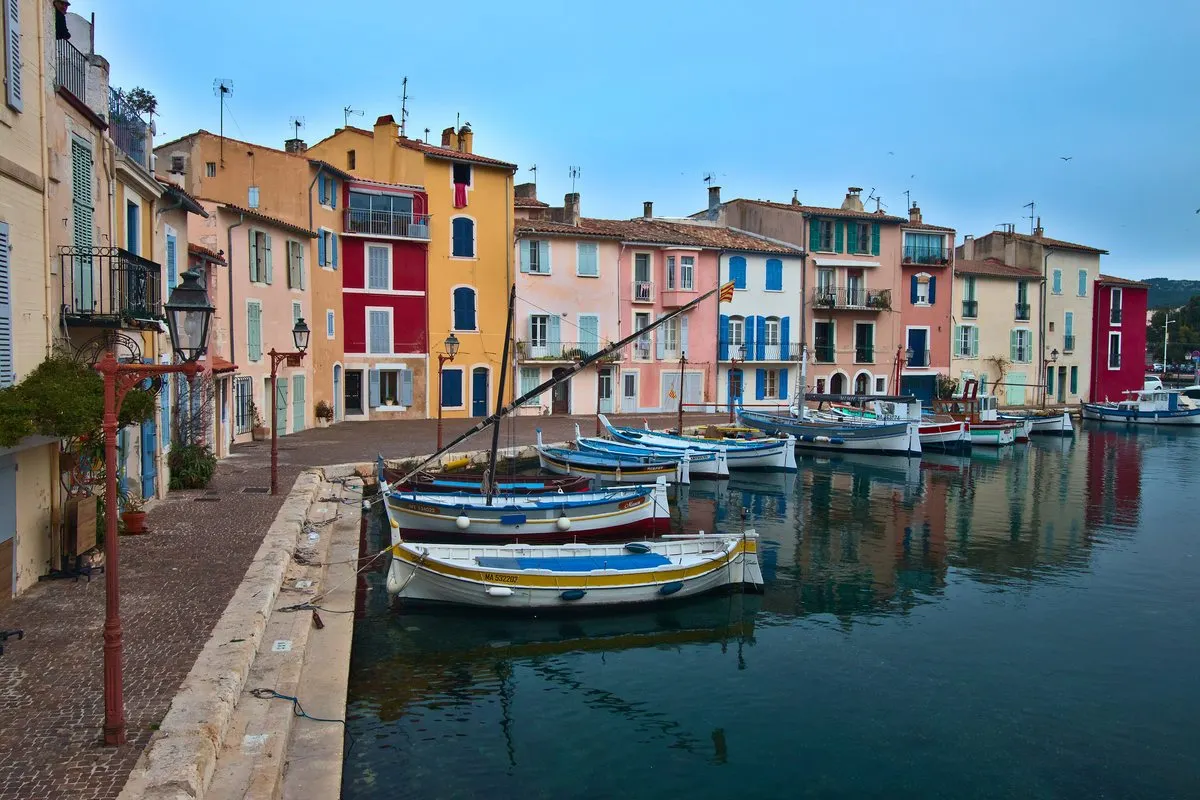
Three medieval villages on either side of a channel became one town in 1581. Martigues still keeps its canals, a Baroque church on the island and a hilltop chapel for sailors – and at the end of the Côte Bleue, the fishing port of Carro.
In this story · 4 sections
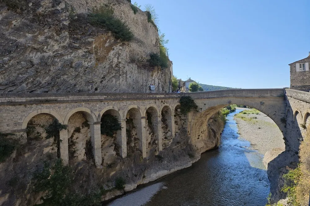
Martigues lies 39 kilometres north-west of central Marseille, on both banks of the Caronte canal, which joins the Étang de Berre to the Mediterranean. Its canals, quays and bridges earned it the nickname “Venise provençale”, the Venice of Provence. The town has three quarters – Ferrières to the north, l'Île on the island of Brescon in the channel, and Jonquières to the south – and its territory runs down to 11 kilometres of Mediterranean coast at the western end of the Côte Bleue. For property here, see VERA PI's Martigues guide.
2 places
Three villages, one town
People have lived here since the Neolithic; the village of Tamaris, on the coast, is the oldest native urban settlement in the south of France, occupied around 640–560 BC. The Romans dug the first channel through the Étang de Caronte around 104–102 BC. In the Middle Ages three walled boroughs grew up at the junction of the two lagoons: l'Île at the centre, Ferrières on the north bank and Jonquières on the south. Henri II sought to unite them, Charles IX visited in 1564 with the same aim, and on 21 April 1581 they finally merged as Martigues, governed by 60 councillors, 20 from each quarter.
Its fleet once rivalled Marseille's, until Colbert decided in Marseille's favour. The modern Caronte canal was completed between 1908 and 1928, and the Caronte railway viaduct, a rare swing bridge, carries the Côte Bleue line across the channel.
The island and its church
On the island, on the Place Rouget-de-l'Isle, stands the church of Sainte-Marie-Madeleine, built in Baroque style between 1681 and 1688. Its east front is richly carved; inside, the walls and panelling are painted and the flat timber ceiling is decorated. The organ by Prosper-Antoine Moitessier, of 1851, is listed for both its case and its instrument. The town's art museum, the Musée Félix Ziem, opened in 1992.
Notre-Dame-des-Marins
On a hill of more than 100 metres north of the town stands the 17th-century chapel of Notre-Dame-des-Marins, long the guardian of sailors and fishermen. From its terrace the view takes in the whole town to the south, the Étang de Berre to the east and the Caronte canal, Port-de-Bouc and the Gulf of Fos to the west.
Carro, La Couronne and the coast
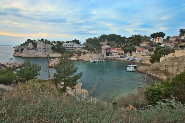
South of town, the villages of La Couronne and Carro grow from 4,500 to 15,000 people in summer. Carro is the leading fishing port of the area, and the Plage du Verdon at La Couronne draws up to 9,000 bathers a day in high season. Off Cap Couronne, a marine reserve forms part of the Côte Bleue Marine Park, created in the early 1980s.
Martigues is on the Côte Bleue railway, about 50 minutes from Marseille, with stations at Croix-Sainte, Lavéra and La Couronne. For the coast to the east, see VERA PI's Sausset-les-Pins guide, its Carry-le-Rouet page and our destination guides.
Église Sainte-Marie-Madeleine
Baroque, 1681–88
Painted interior and a listed 1851 organ by Moitessier.
Place Rouget-de-l'Isle, Martigues
Chapelle Notre-Dame-des-Marins
The sailors' chapel
A 17th-century chapel above the town with views to the Étang de Berre and the Gulf of Fos.